End of the marathon in St. James' Park to join the Greenwich Meridian Trail.
Basically follows the A10, gradually becoming less and less busy until I made it out of central London. Met up with Dave and Pete at Mile End, Forest Rise, and another place that I can't remember...

The Greenwich Meridian Trail through London, up over the M25 to Waltham Abbey

Waltham Abbey to Stansted Abbets

Stansted Abbets to Standon

Standon to Wyddial

Wyddial to Royston

Royston to Orwell

Orwell to Hardwick

Hardwick to the Guided Busway (via Bar Hill)

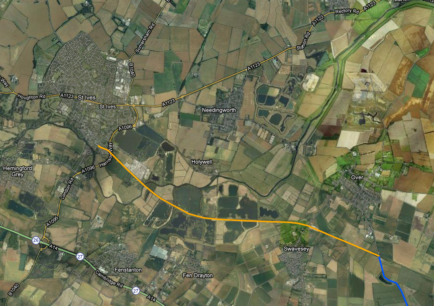
Home straight - Guided Busway into St. Ives
No comments:
Post a Comment
Note: only a member of this blog may post a comment.